The Fraser River's historic floodplain defines much of the ground beneath Port Coquitlam. Deep deposits of silts, sands, and soft clays sit over dense glacial till, creating a sharp stiffness contrast that demands precise seismic site classification. In our experience, the non-invasive MASW (Multichannel Analysis of Surface Waves) method handles this transition better than invasive borehole techniques alone. The array configuration adapts easily to the tight industrial lots along Kingsway Avenue and the open fields near the Coquitlam River, delivering a reliable VS30 profile without the disturbance that conventional drilling can cause in saturated, interlayered soils.
Where the water table sits just a meter below the surface—common in the Mary Hill area—the surface wave dispersion curve still resolves the critical impedance contrast at depth. When the Fraser River freshet raises groundwater in May and June, we combine the MASW survey with a targeted CPT test to validate the soft clay shear strength, ensuring that the VS30 value used for NBCC 2020 site classification truly reflects the in-situ condition rather than an idealized dry-ground assumption.
A well-picked Rayleigh wave dispersion curve on Fraser River silts reveals the till contact depth within half a meter—no drilling required.
Service characteristics in Port Coquitlam
For projects where the bedrock contact dips laterally—common near the Port Coquitlam Bluffs—we complement the linear array with a seismic refraction line to map the till surface geometry. The combined interpretation yields a site class map that reflects the true subsurface variability rather than a single-point borehole extrapolation. Data processing follows ASTM D7400 for surface wave methods, with dispersion curve picking reviewed by a second geophysicist before inversion.
Local geotechnical conditions in Port Coquitlam
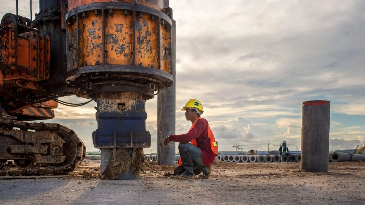
The field crew deploys a 24-channel geophone spread connected to a 24-bit seismograph, laying out cables across pavement or grass with 2-meter sensor spacing. A 10-kilogram sledgehammer strikes an aluminum plate at multiple offset positions to generate a broadband Rayleigh wave train. The seismograph records the surface wave passage, and the first quality check happens on-site: if the dispersion image shows a clean, continuous fundamental mode from 5 Hz down to about 15 Hz, the penetration to 30 meters is confirmed.
Skipping this step because 'the site looks uniform' has led to costly NBCC site class misassignments. A site classified as Class C based on an SPT blow count alone can drop to Class D or E when the MASW reveals a hidden soft clay layer at 15 meters. In Port Coquitlam, where the till surface undulates unpredictably, the VS30 value from a single borehole can misrepresent the average shear-wave velocity by 20 percent or more. The array measurement smooths that variability over a 46-meter line, producing a site class that the structural engineer can defend to the municipality.
Our services
The MASW survey integrates with several other geotechnical and geophysical methods to build a complete site characterization package for Port Coquitlam projects.
VS30 Site Class Determination
Full MASW acquisition, dispersion analysis, and inversion to deliver a VS30 value and NBCC 2020 site class letter for structural design input.
Combined MASW + Seismic Refraction
Joint interpretation of surface wave and refraction data to map both shear-wave velocity and compressional-wave stratigraphy, resolving till surface geometry.
MASW + Downhole Seismic Calibration
Array survey calibrated against a single downhole seismic test at a borehole location for projects requiring the highest confidence in shear-wave velocity profiles.
2D Shear-Wave Velocity Sections
Multiple parallel MASW lines processed into a 2D VS cross-section for slope stability analysis or lateral spreading assessment along riverbanks.
Quick answers
What does the MASW test cost for a typical single-family lot in Port Coquitlam?
For a standard single-line MASW survey on a residential lot in Port Coquitlam, the cost ranges from CA$2,330 to CA$4,800 depending on array length, site access, and whether supplemental CPT or refraction data is needed. The price includes field acquisition, dispersion analysis, inversion, and a signed report with the VS30 profile and NBCC site class.
How does the Fraser River floodplain geology affect the MASW survey quality?
The soft saturated silts and clays in the floodplain produce a low-velocity surface layer that strongly guides Rayleigh wave energy, giving a clean, high-amplitude fundamental mode. This actually improves the dispersion image quality compared to a dry, stiff soil site. The main challenge is the high water table, which can saturate the geophone spike holes, but we use sealed marsh geophones when conditions require it.
Can the MASW survey be performed on pavement or inside an existing warehouse?
Yes, with some adaptation. On asphalt or concrete, we bolt the geophones to the surface using quick-setting gypsum or wax couplant instead of spikes. The high-frequency surface wave energy couples well with rigid pavement, though the impact source generates more acoustic noise inside a warehouse. We typically schedule those surveys outside of operating hours to reduce ambient vibration interference.
How does the municipality of Port Coquitlam use the VS30 value in the building permit process?
The City of Port Coquitlam requires seismic site classification per NBCC 2020 as part of the geotechnical report submitted with the building permit application. The VS30 value from the MASW survey determines the site class (A through E), which directly affects the design spectral acceleration values the structural engineer must use. An incorrect site class can lead to either an unconservative or an overly expensive seismic design.