Port Coquitlam sits on the north bank of the Fraser River, where the subsurface profile typically shifts from silty overbank deposits into dense glacial till within the first 10 to 15 meters. The water table here often sits only 2 to 4 meters below grade, a direct consequence of the river’s hydraulic connection and the permeable sand lenses found throughout the floodplain. Any cut deeper than 4.5 meters instantly becomes a groundwater-control problem, not just a shoring exercise. In our experience, a reliable geotechnical design for deep excavations in this corridor must integrate transient seepage analysis with lateral earth pressure calculations—skip either one and the risk of bottom heave or wall kick-out jumps significantly. When boreholes reveal soft clay layers beneath the till, we often recommend combining the shoring analysis with stone columns to stiffen the passive zone before bulk excavation begins.
The biggest variable in a Port Coquitlam excavation design isn't the wall section—it's the seepage gradient at the till-alluvium contact.
Service characteristics in Port Coquitlam
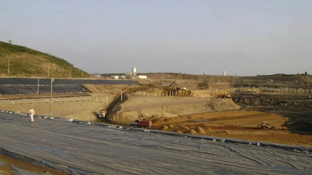
Local geotechnical conditions in Port Coquitlam
The National Building Code of Canada and CSA A23.3 set clear load factors for temporary shoring, but in Port Coquitlam the dominant risk isn't structural overloading—it's hydraulic piping at the base of the cut. When the excavation depth approaches the till surface and the overlying silts are not fully dewatered, the upward gradient can fluidize the bottom in a matter of hours. This mechanism is well-documented in the Fraser River delta and is the reason our designs always include a minimum embedment check against critical gradient plus a factor of 1.5. A secondary risk is vibration-induced settlement in the older unreinforced masonry buildings along the Mary Hill Road corridor; here, we specify impact-hammer refusal criteria tied to peak particle velocity limits, rather than just blow counts. Ignoring either the groundwater or the vibration risk turns a routine basement dig into a liability.
Our services
The scope of a deep excavation design package in Port Coquitlam extends well beyond wall sizing. We deliver a coordinated set of documents that cover the shoring sequence, the dewatering plan, and the instrumentation layout.
Shoring Wall Design & Staging
Soldier pile, sheet pile, or secant wall sections sized for the lateral earth pressures and surcharge loads specific to your site. We provide a detailed construction sequence showing cut depth versus support installation timing.
Dewatering & Groundwater Control Plans
Deep-well, wellpoint, or ejector system layouts backed by steady-state and transient flow models. The plan includes settlement predictions for adjacent properties due to drawdown.
Base Stability & Heave Analysis
Factor-of-safety calculations for basal heave in soft clay layers, including the effect of the till cap. We specify jet grouting or soil mixing if the predicted FS drops below 1.5.
Instrumentation & Monitoring Specifications
Inclinometer, piezometer, and survey point arrays with trigger levels for wall deflection, groundwater rise, and surface settlement. Weekly monitoring reports during the active excavation phase.
Quick answers
How much does a deep excavation design for a typical Port Coquitlam basement cost?
The design package—covering shoring calculations, dewatering analysis, and construction-sequence drawings—generally runs between CA$2,990 and CA$11,600, depending on the depth of the cut, proximity to adjacent structures, and the complexity of the groundwater control required.
Do I need a dewatering permit for an excavation in Port Coquitlam?
Yes. The City of Port Coquitlam’s bylaw requires a dewatering discharge permit if you are pumping groundwater to the storm sewer or watercourse. We prepare the supporting hydrogeological information—predicted flow rates, drawdown contours, and water quality parameters—as part of the design package.
How close to the property line can you safely excavate?
Zero-lot-line excavations are common in the downtown area. With a properly designed soldier pile and lagging wall, we can cut within 200 mm of the property line. The key is a detailed pre-construction condition survey and a deflection limit of 25 mm or less at the wall top.
What's the biggest cause of excavation wall failure in the Fraser River corridor?
In Port Coquitlam, the most common failure mode is not wall buckling but hydraulic piping at the base. When the base of cut is in silt and the till is pierced, artesian pressure can blow out the bottom fast. Our designs always include a critical-gradient check and an embedment depth that provides a factor of safety of at least 1.5 against piping.
How long does it take to produce a deep excavation design package?
For a mid-rise building excavation with two below-grade levels, we typically deliver the shoring design, dewatering plan, and monitoring specifications within four to six weeks from completion of the site investigation. More complex sites with multiple soil units or adjacent transit infrastructure may take eight weeks.